Surveying & Mapping Services

  • ALTA-NSPS Land Title Surveys1 Land/Site & Subdivision Planning & Design
  • Boundary, Topographic & “Existing Conditions” Surveys1 Storm Water Management Facility/BMPs
  • Utility & Storm Water Facility As-built Surveys1 Erosion & Sediment Control
  • Easement Surveys, Route & Right-Of-Way Surveys1 Pond Code 378 Design & Dam Breach Analysis
  • Subdivision/ Record Plats1 & Legal Descriptions Drainage Design & Grading Plans
  • Drone-Based Mapping, Imaging & Videography Utility (Sewer, Water) Design & Plans
  • GPS Control Surveys & Construction Stake-out Agency Coordination & Permitting Assistance
  • Surveys of Delineated Natural Resources Marina Expansions & Shoreline Stabilization Design
  • GIS Data Analysis & Management, Geo-Processing, Map Preparation
  • Scanning, Georeferencing, Attributing, Archiving and Mosaicing paper maps and plans for GIS
  • Seamless Import/Export data to and from GIS and CAD
  • Presentation quality GIS Maps and Exhibits
  • Construction Phase Surveying, Mapping and Inspection Services
Wetland Delineation
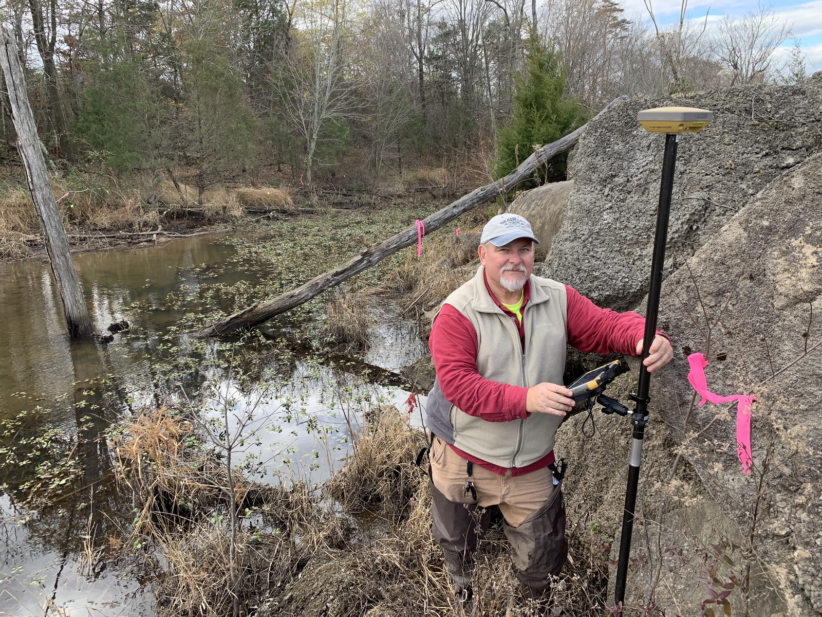
Wetland Delineation – SECI performs wetland delineations as part of our natural resource and environmental mapping services. At this site we also provided a Phase 1 ESA and an ALTA/NSPS Land Title Survey. The project was completed on a fast track for a regular client.